
Photo by Connor McSheffrey on Unsplash
Carved out of fire and ice over millions of years, the Rocky Mountains (the Rockies) reflect their dramatic origins with incredible landscapes sculpted by glaciers and lava that have formed towering snow-capped peaks, verdant forested valleys, deep gorges and rushing rivers.
Perhaps it’s no surprise that our name Rocky Mountaineer is inspired by this awe-inspiring group of mountains, and we have designed our elevated train vacations around giving guests the most elevated experience of these natural wonders.
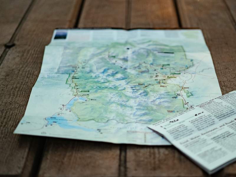
As you trace your finger down a map of the Rockies, you’ll see that they stretch from the north of Alberta and British Columbia all the way down south to New Mexico, forming the geological backbone of North America. Our love of exploration and passion for the Rockies led us south too, to share parts of an amazing region that can often only be reached by train, giving guests unparalleled access to the US Southwest and an experience of elevated train travel in the USA.
Where are the Rocky Mountains?
Bordered west by the Coast Mountains and Interior Plateau in Canada and by the Columbia Plateau and Basin and Range Province of US, the Rockies are met on the eastern side by the Great Plains, which include Canada’s Prairie provinces (Manitoba, Saskatchewan, and Alberta) and 10 US states.
Stretching over an expansive distance of 4,800 kilometres (3,000 miles) in length, the Rocky Mountains are up to 480 kilometres (300 miles) wide in some places and the group of mountains actually covers more than 100 individual ranges, roughly divided into four areas.
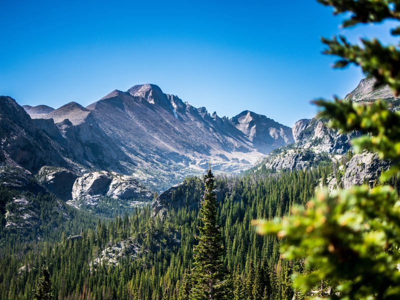
Photo by Peter Pryharski on Unsplash
To the north lies the Canadian Rockies & Northern Rockies (Montana and northeastern Idaho), the Middle Rockies (Wyoming, Utah, and southeastern Idaho), the Southern Rockies (Colorado, New Mexico), and the Colorado Plateau (in the Four Corners region of Utah, Colorado, New Mexico, and Arizona.)
While the geology differs across the regions, thanks to the origin, ages, and shapes of the rocks, the Rockies all share high elevations. Many peaks top 4,000 metres (13,000 feet), and are home to the same kind of climate and environmental factors, such as mineral rich soil from historic volcanic and glacial activity - which means no matter where you are in the Rockies, you’re sure to be surrounded by photogenic scenery.
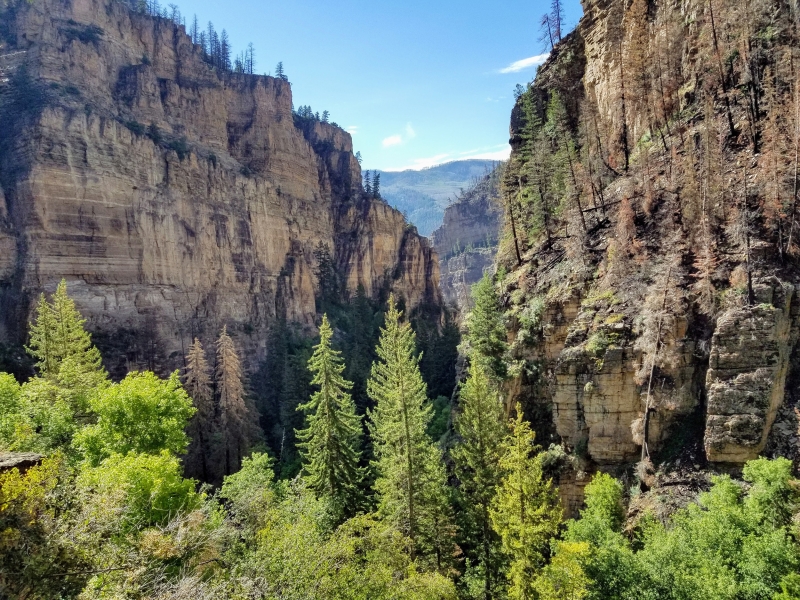
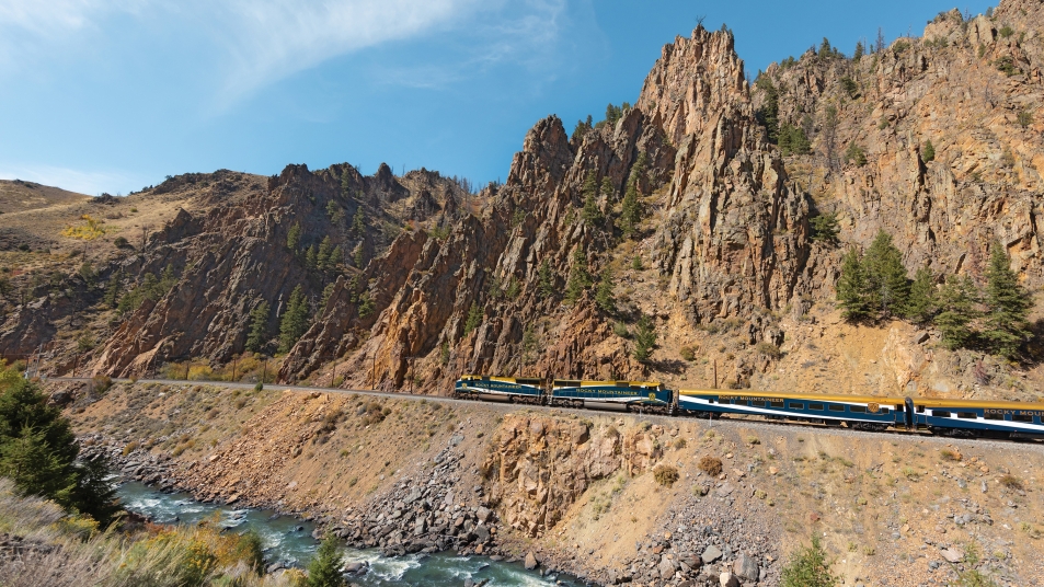
The towering walls of Glenwood Canyon
Experience the Rockies to the Red Rocks
Just like our three original Canadian Rockies rail routes, our two-day Rockies to the Red Rocks route is steeped in history and is an unforgettable way to explore ever-changing scenery and the iconic destinations found in the US Southwest. From the mountain ‘mile-high’ city of Denver in the foothills of Colorado’s Rockies to Utah’s other-worldly sandstone red rocks near Moab, there are geological marvels at every turn of the route.
Travelling through the Rocky Mountains, expect to see spectacular scenery as we move through diverse geography from the snow-capped mountains surrounding Denver to the more arid southern landscapes. Along the way we pass incredible sights such as the rugged, high-walled Glenwood Canyon, sculpted by the rushing Colorado River, and the verdant vineyards of the Great Valley where the Rockies merge into the desert canyons of the Southwest.
Rest in the Rockies with an overnight stop in the picturesque mountain town of Glenwood Springs where you’ll find natural hot springs to soak in, as well as a storied history that encapsulates the spirit of the West’s infamous past. Look out for more spectacular sights along the route as the landscapes of the Rockies merge into the red rocks of Utah. Get your camera ready for the towering bluff of Mount Garfield, the epic cliffs of jewel-hued Ruby Canyon– a colourful chasm on the border of Colorado and Utah– and the world-famous sandstone arches of Arches National Park, the iconic destination named after the 2,000 natural red rock monuments found there
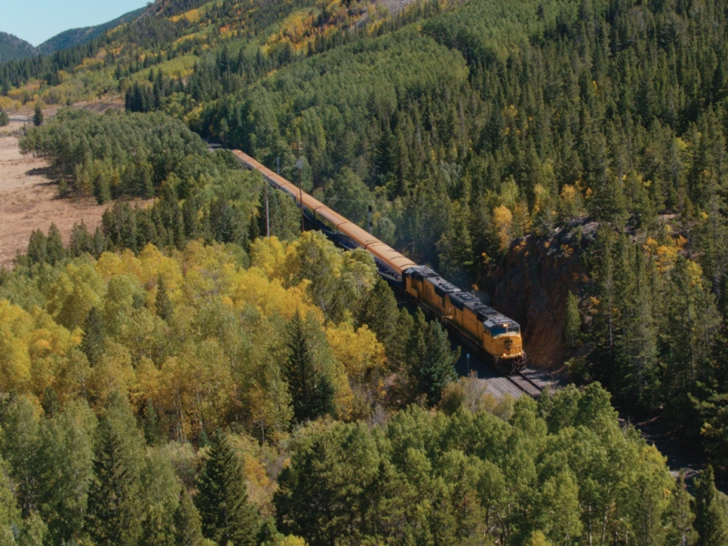
Heading into the 6.2 mile Moffat Tunnel
Part of our epic Rockies to the Red Rocks route takes you straight through the heart of the Rocky Mountains via the incredible engineering of the Moffat Tunnel in Colorado, which slices through the Continental Divide. The tunnel was bored at an elevation of 9,239 feet (2,816 meters), but around 2,800 feet (854 meters) below the surface, making it both the highest and lowest boring at the same time.
Though, that’s the only ‘boring’ fact on Rockies to the Red Rocks, as our onboard Hosts are on-hand to tell the fascinating stories behind the sights, as well as serve guests regionally inspired cuisine with the same attention to detail you’ve come to know and love on our Canadian Rockies adventures.
Ready to discover the Southern Rockies with us? Find out more about our Rockies to the Red Rocks rail route here.


